|
High
Rock Lake Photos
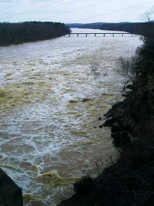
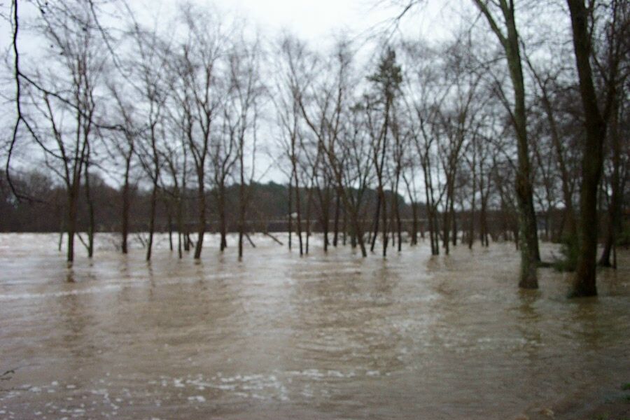
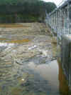
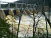
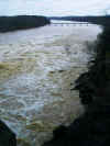
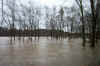
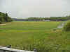
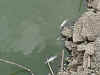
Flood Stage waters on 3/21/2003
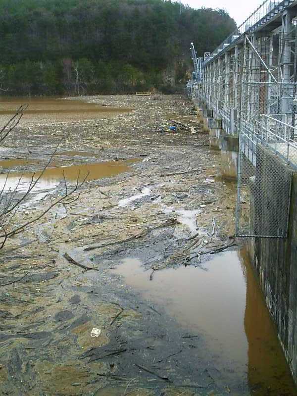
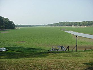
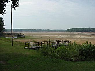
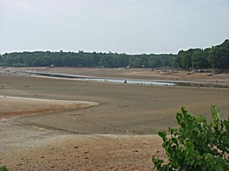
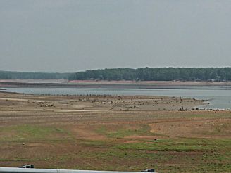
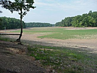
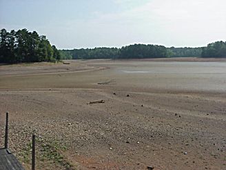
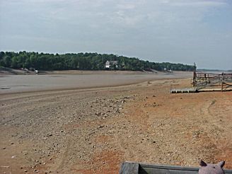
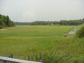
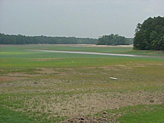
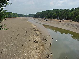
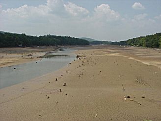
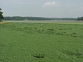
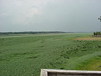
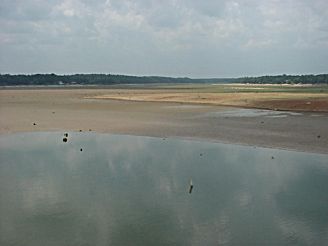
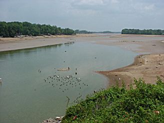
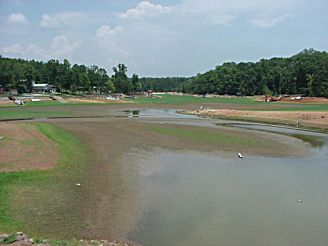
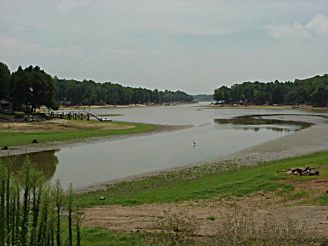
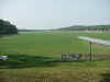
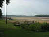
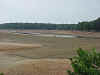
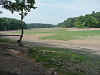
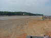
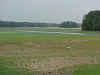
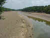
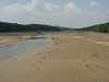
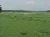
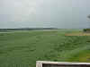
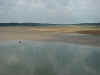
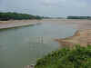
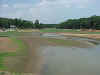
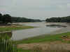
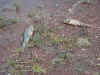
High Rock Lake Photos taken on 7/19/2002 - Lake down 24 feet
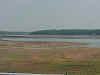
Abbotts Creek 7/19/2002
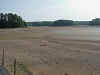
Buddle Creek
Crane Creek
Flat Swamp from Hwy 8 bridge
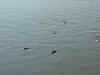
Main River Channel from Moose Lodge Pier
Second Creek from Bringle Ferry Rd. bridge
Swearing Creek from Linwood Southmont Rd. bridge
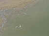
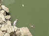
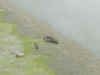
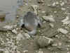
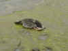
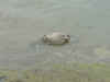
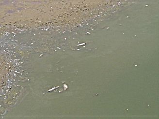
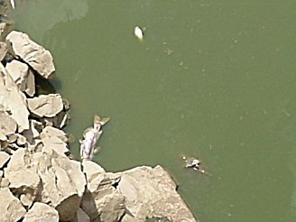
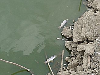
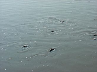
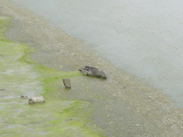
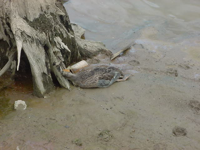
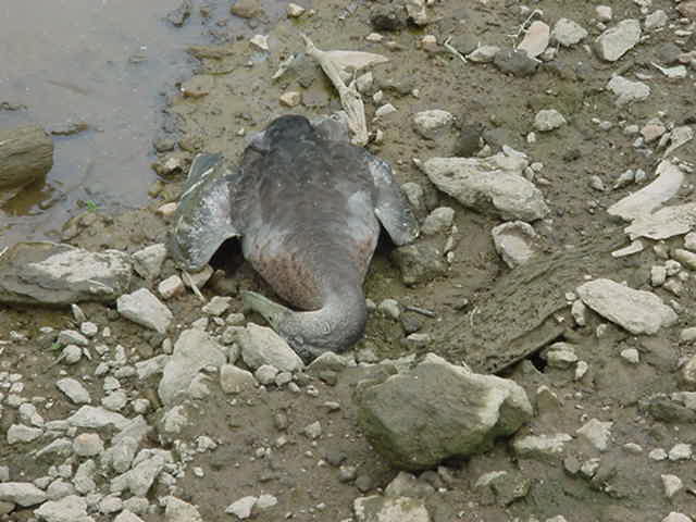
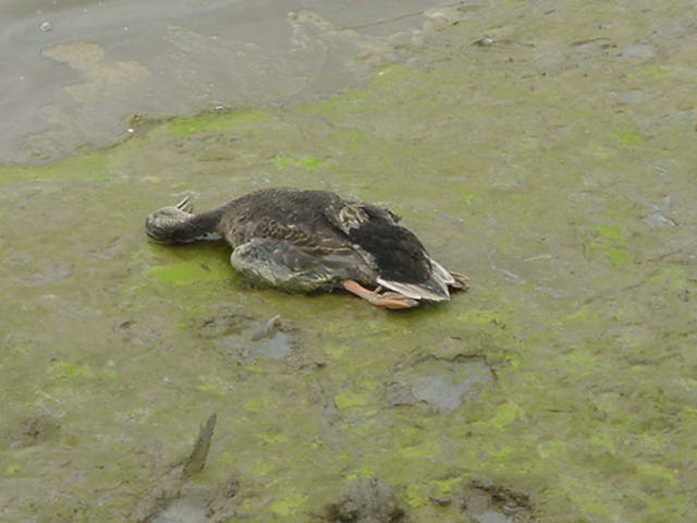
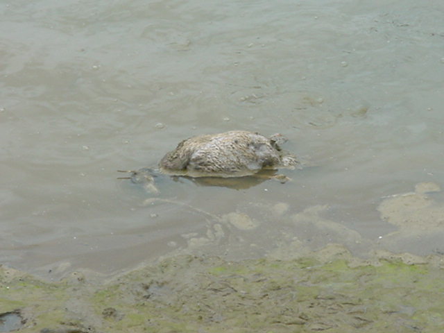
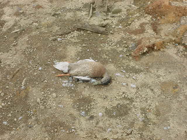
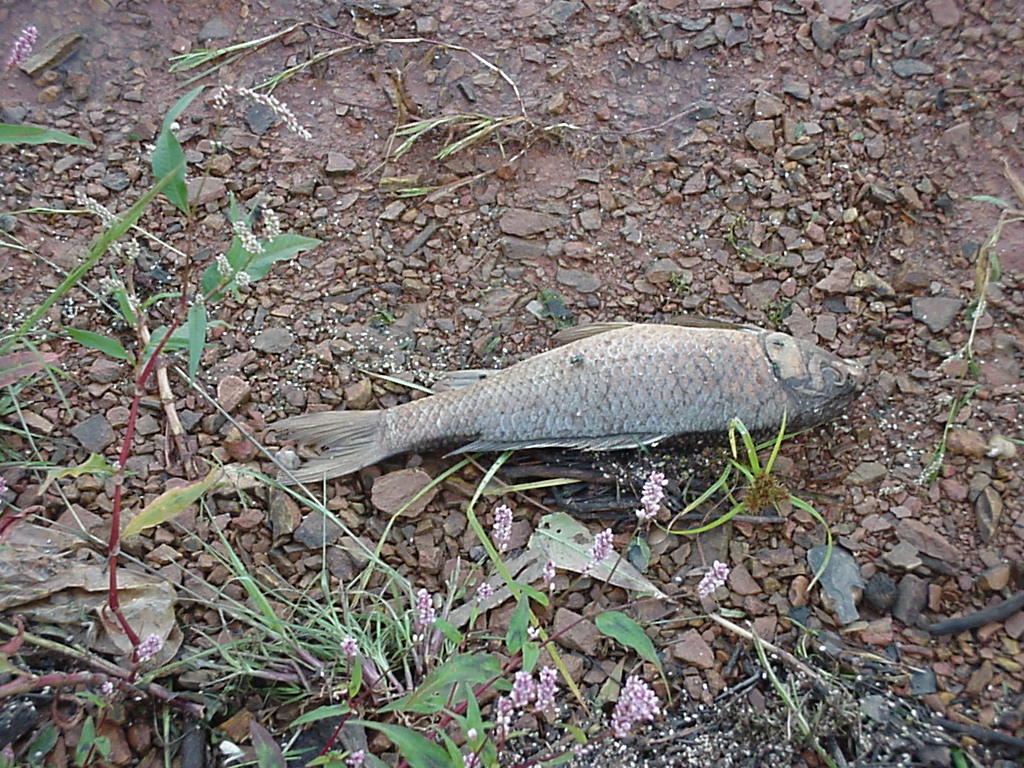
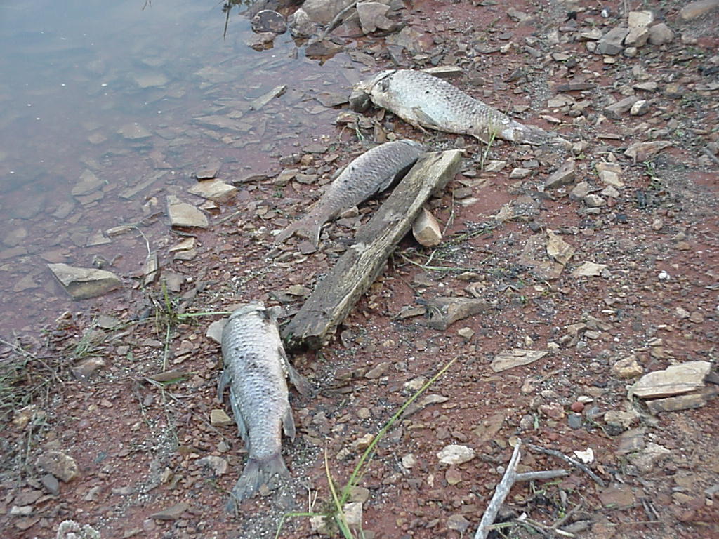
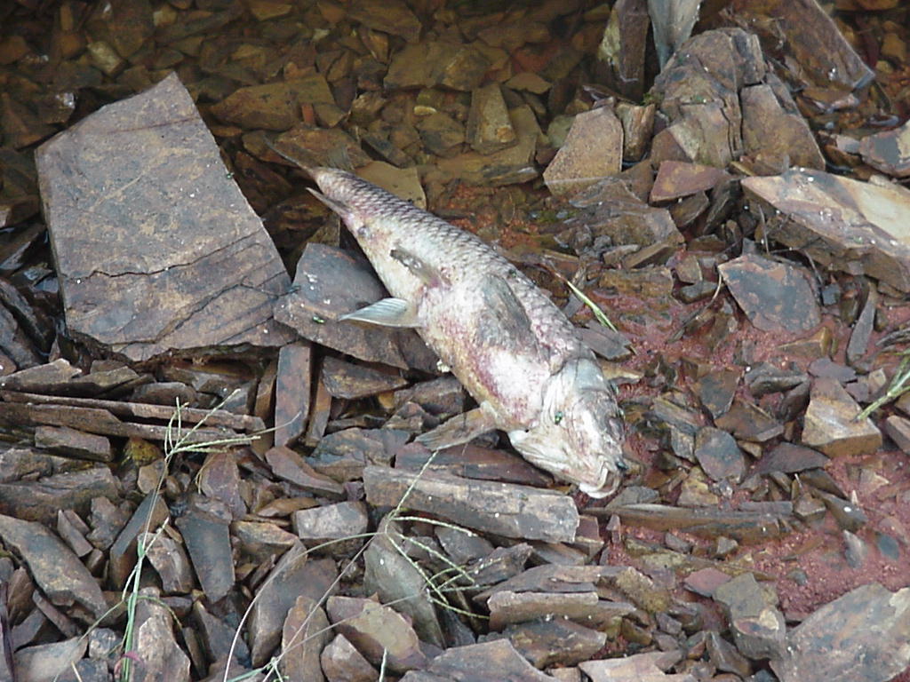
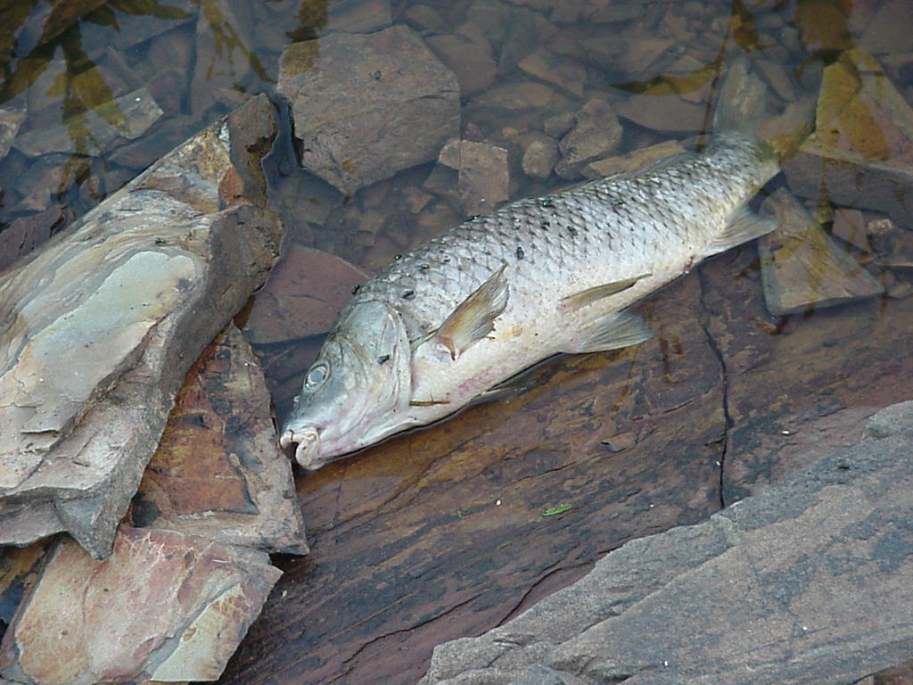
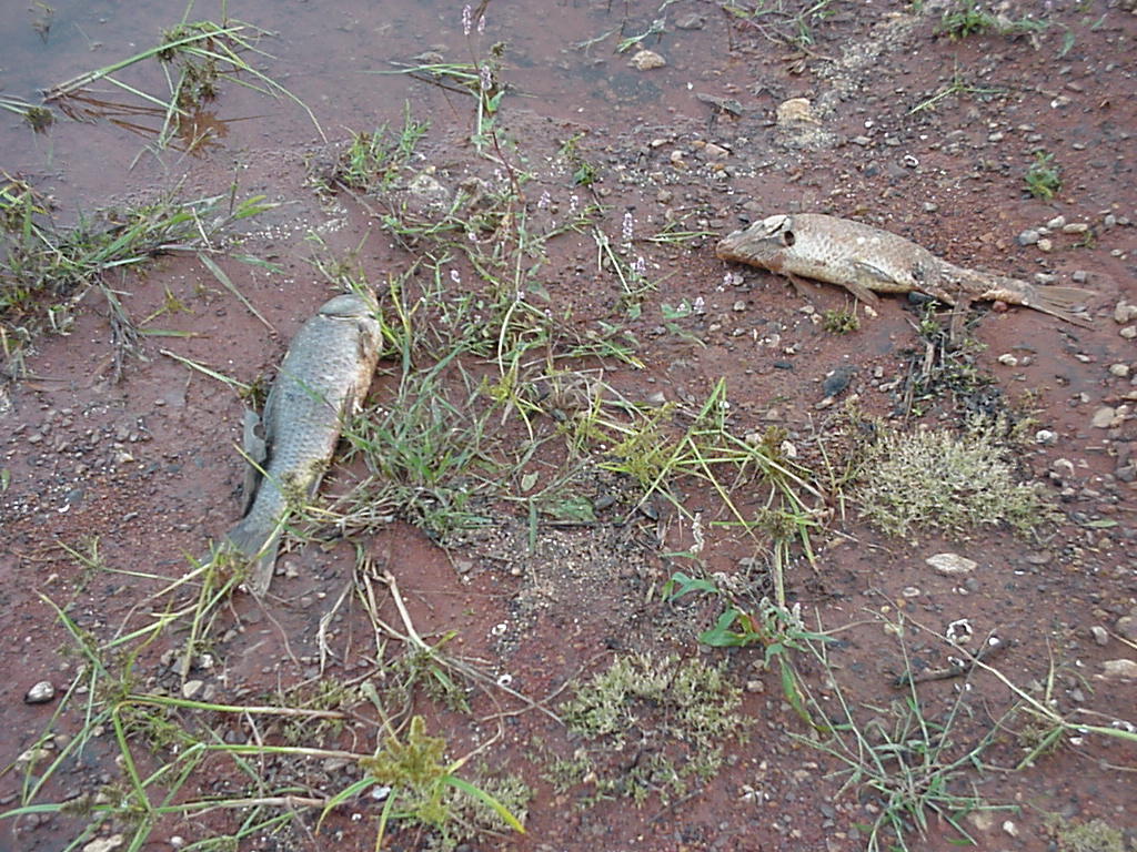
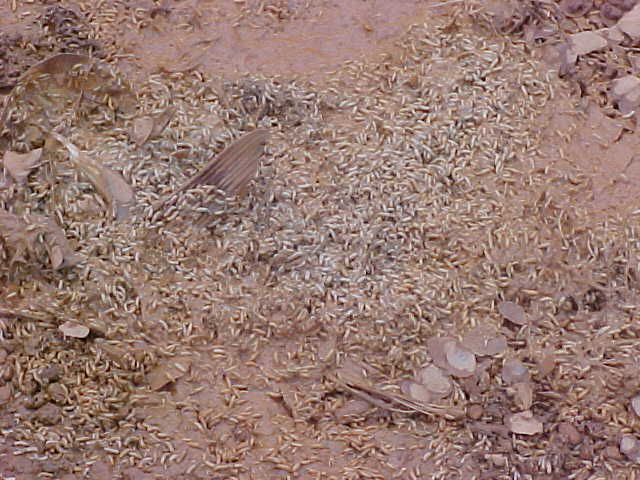
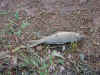
The effect of a 24 foot drawdown on the wildlife
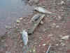
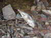
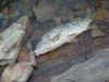

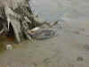
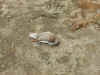
The Fish Kill on September 30, 2002 and the mess after
|